

GEOFF SOLOMON in Danby Wiske, near Northallerton, was interested to see that the infamous John Bowes lived at Streatlam Castle because he has an 1803 map of his neck of the woods in which there is a Streetlam Castle marked.
There is indeed a hamlet called Streetlam near Danby Wiske, but there has never been a castle there.
The map is drawn by the noted cartographer John Cary, the pre-eminent map-maker of his generation who was renowned for his accuracy. So how did he come to make such a mistake?
Cary’s works were so good that renegade printers copied them illegally, and Geoff believes that Streetlam Castle is a “cartographer’s folly” – a deliberate mistake drawn into map so that the cartographer could tell if his work was being plagiarised.
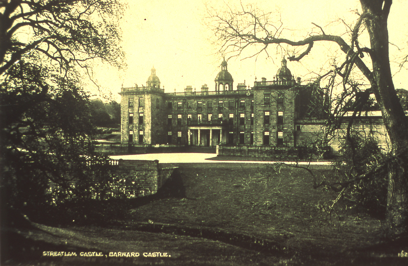
Streatlam Castle was between Barnard Castle and Staindrop. It was the home of John Bowes and should not be confused with Streetlam Castle between Danby Wiske and the Cowtons, which didn't exist
It almost looks as if Cary was setting a trap for an unwary copier who might have known that there was a castle called something like Streatlam in the area and so would not have been suspicious when he stumbled across Streetlam Castle.


Comments: Our rules
We want our comments to be a lively and valuable part of our community - a place where readers can debate and engage with the most important local issues. The ability to comment on our stories is a privilege, not a right, however, and that privilege may be withdrawn if it is abused or misused.
Please report any comments that break our rules.
Read the rules here